Team
Olivier Dewitte (project coordinator)
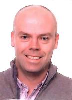 |
Olivier is a physical geographer with a broad knowledge and understanding of processes and quantitative research methodologies in geomorphology, natural hazards, and soil science. Currently, he is employed as a senior researcher at the Department of Earth Sciences of the Royal Museum for Central Africa. His research interests are mainly on landslide and soil erosion related topics in several regions of Africa (Burundi, Cameroon, Ethiopia, Ivory Coast, DR Congo, Rwanda and Uganda). keywords: Geomorphology, natural hazards, land degradation, geography |
Arthur Depicker
|
Arthur obtained his Master's degree in Bioscience Engineering from Ghent University in 2016. He graduated with a master dissertation on the topic of wildfires in Belgium. In October 2017, he joined the PAStECA project as a PhD student. The topic of his research is the 'Historical Analysis of Environmental Degradation in the Western Branch of the East African Rift'. The PhD is supervised by Gerard Govers, Olivier Dewitte, and Anton Van Rompaey at KU Leuven. keywords: landslides, wildfires, risk analysis, spatio-temporal modeling |
Gerard Govers
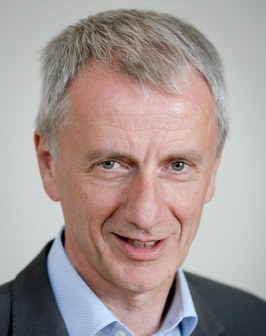 |
Professor Gerard Govers is the director of Arenberg Doctoral School (KUL) since 2010. He graduated as a geographer in 1981 and obtained his PhD in 1986. Since 1990, he teaches at the KUL. Currently, he is the vice rector of the Science and Technology Group of the KUL. He is an expert in soil erosion and degradation, soil conservation, hillslope hydrology, and GIS-techniques in the study of environmental problems in the field of physical geography and soil conservation. keywords: geography, geomorphology, soil erosion, soil carbon, sustainability |
Liesbet Jacobs
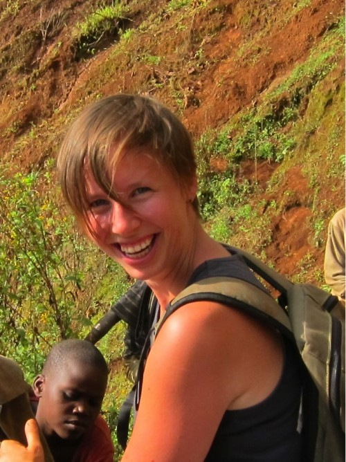 |
In 2013, Lies graduated as a bioscience engineer at KU Leuven with a specialization in soil and water management. In January 2018, Lies obtained a PhD in physical geography from the VUB. Since October 2017 she has been affiliated with the Division of Geography and Tourism at KU Leuven as a post-doctoral researcher. Her research focuses on the spatial and temporal prediction of landslides utilizing various methodologies, ranging from field-based data collection to optical remote sensing, statistical and process-based modeling and crowdsourcing. keywords: landslides, flash floods, natural hazards, spatial modeling, crowdsourcing |
François Kervyn
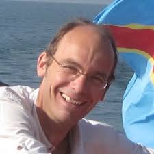 |
François Kervyn is leading the Natural Hazards team at the Royal Museum for Central Africa. He obtained a PhD in Geology from the Catholic University of Louvain in 1994 and specialized in remote sensing applications to geology with a focus on the use of radar remote sensing and radar interferometry in particular. He has a long-standing experience of collaboration with various African countries and his current research interests are mainly on natural hazards in Africa and their impacts on the society. He is also in charge of the management of the cartography service at RMCA and of the expertise provided to end users. keywords: remote sensing, geology, natural hazards |
Mohamed Laghmouch
 |
Dr. Mohamed Laghmouch holds a MSc. degree in cartography and remote sensing and a PhD in geography (UGent). Mohamed has been working at the Royal Museum for Central Africa for more than 15 years. His research interests are in geomatics and geological mapping with a strong taste for capacity-building and citizen-based approaches. keywords: geomatics, thematic mapping, Central Africa |
Caroline Michellier
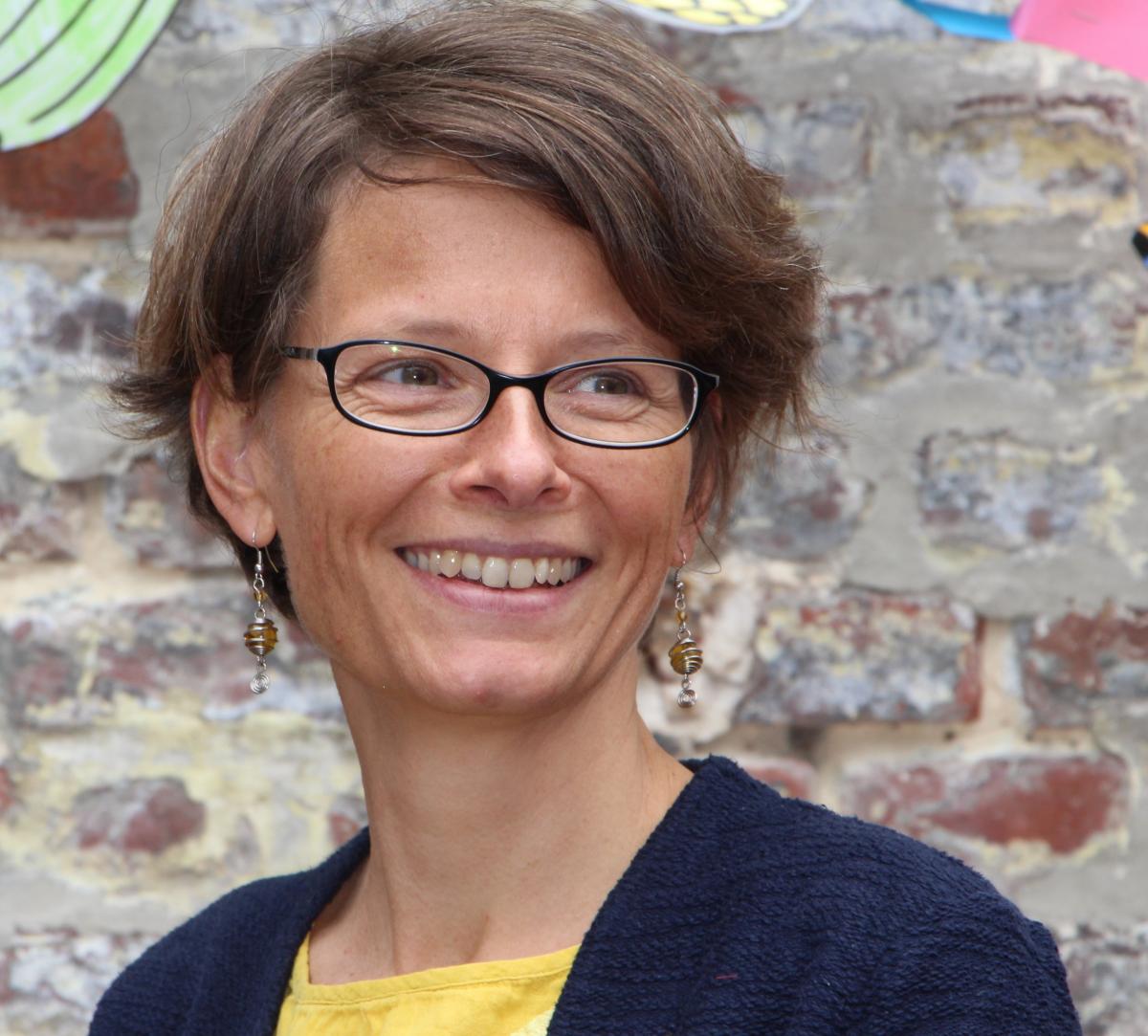 |
Caroline Michellier is a geographer-demographer, specialized in vulnerability and natural risk assessment in Central Africa. After an early career at the Center for Research on the Epidemiology of Disasters (CRED-UCL) and at the Geography Department of UCL, on issues combining natural disasters and health, she lived several years in Kenya, Kinshasa, and Bujumbura. She is now a post-doc researcher at the Royal Museum of Central Africa (MRAC) and a scientific collaborator at ULB-IGEAT. As part of the GeoRisCA project (2012-2017), she has developed and applied a population counting methodology in areas lacking reliable data - Goma and Bukavu (RD Congo) – by combining remote sensing and field survey techniques. keywords: spatial analysis, risk management, risk assessment, risk analysis |
Nicholus Mboga
 |
Nicholus Mboga is a graduate of Geo-Informatics from University of Twente, Faculty of Geo-information and Earth Observation Science (2017). He joined PAStECA as a PhD student at the Université Libre de Bruxelles for the topic – “Evolution of land use and land cover from historical panchromatic aerial images and recent very high resolution (VHR) satellite imagery for Central Africa” under the supervision of Prof. Eléonore Wolff. keywords: remote sensing, data analysis, machine learning, image classification, pattern recognition |
Benoît Smets
 |
Benoît Smets currently works as a Postdoc Researcher at the Department of Earth Sciences, Royal Museum for Central Africa. Benoît performs research in Volcanology, Rift Tectonics and Geohazards, and has developed expertise in Photogrammetry, Remote Sensing and Cartography. He has got a 12-year field experience in Africa, especially in the Virunga Volcanic Province (North Kivu, D.R.Congo). keywords: spatial analysis, volcanology, tectonics, geohazards, photogrammetry, remote sensing |
Anton Van Rompaey
 |
Anton Van Rompaey is a Professor of Geography who works at the Department of Earth and Environmental Sciences, University of Leuven. Anton does research in Geography, Land System Science, and Sustainable Development. His current projects focus on rural-urban interactions in the Global South. keywords: geography, human-environment interactions, land use |
Eléonore Wolff
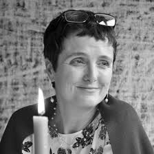 |
Eléonore Wolff is a professor in geography and research director of the Geoscience, Environment, and Society Department of the Université Libre de Bruxelles. One of her research subject of interest lies at the intersection of the geography of Sub-Saharan Africa and the urban remote sensing. Her lab specialized in the processing of very high-resolution remote sensing data using object-based image analysis (OBIA) techniques. Recent works built a (semi)-automated framework for the land cover classification using OBIA techniques and Open Software. keywords: spatial analysis, mapping, land use planning, satellite image analysis, OBIA |

