Objective
The conversion of natural lands into human-dominated landscapes, through for instance urban sprawl or agriculture expansion, is a major component of global environmental change. These human-induced transformations of environments can have impacts for example on biodiversity, climate and land surface feedbacks, and soil and landscape degradation. Alongside these changes, land cover modifications also alter ecosystem services. Assessing the processes of land use and land cover (LULC) changes and possible future scenarios is of paramount importance if we are to embed sustainability in development strategies, ecosystem management, and land use planning, particularly for developing countries where rates of LULC changes are highest.
To quantify and understand the complexity of changes and subtle modifications in LULC, an accurate account of past LULC conditions and recent changes over a multidecadal time scale has an important added value. Indeed, the documentation of long-term trajectories of LULC change can yield important new insights because of the
- importance of some of the drivers of LULC change, such as demographic growth and rural-urban migration, only becomes apparent over sufficiently long time spans, and
- the relative importance of drivers of LULC change changes significantly over such timescales.
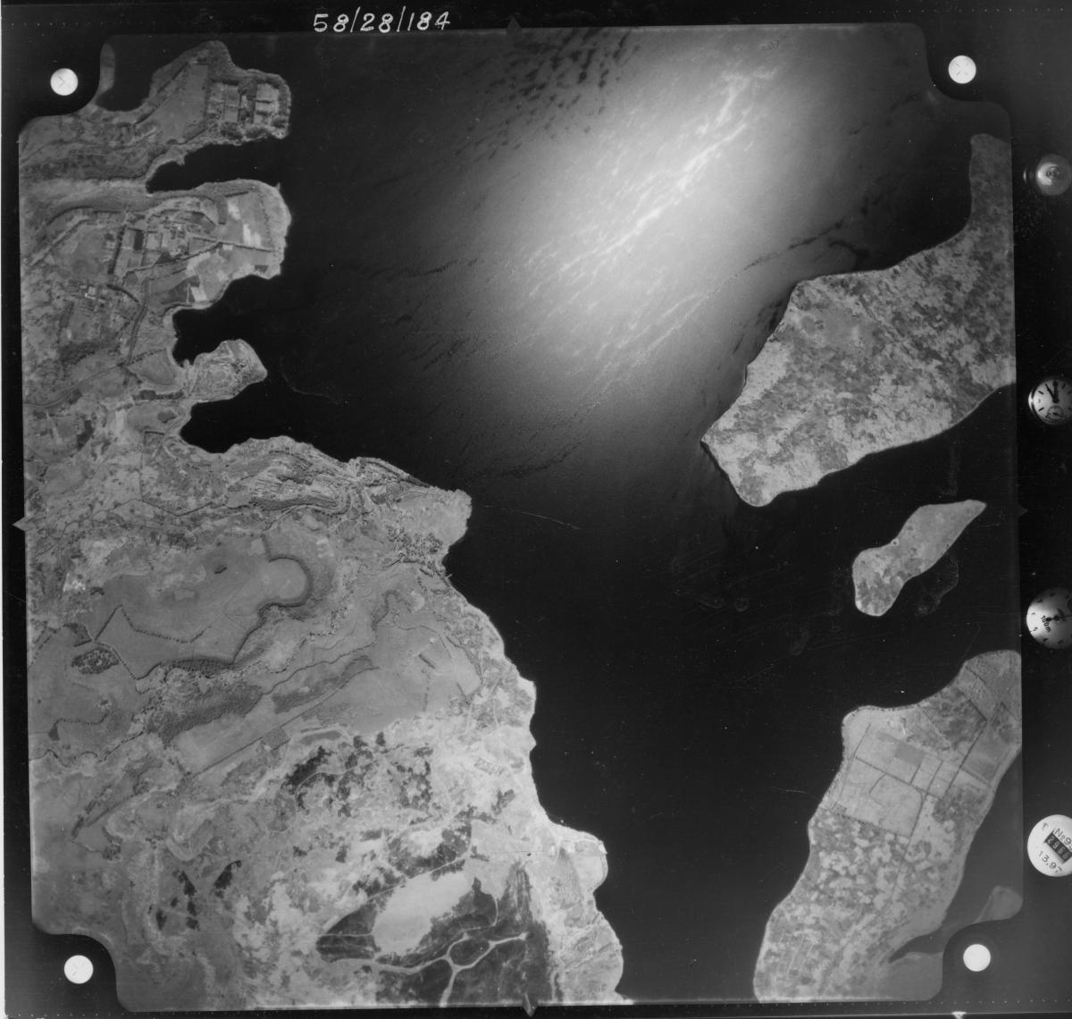
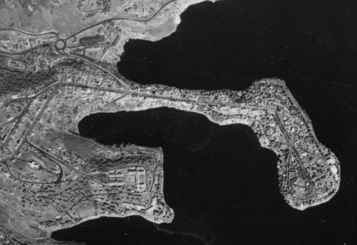
However, sufficiently long, multidecadal records of LULC changes are almost inexistent for the least developed areas of the globe. This important lack is not easy to fill: global and regional LULC assessments derived from the first satellite data from the 70s and 80s offer a spatial resolution that is often too coarse for this purpose and the very high-resolution satellite data became available only at the end of the 90s at best. The use of historical black and white aerial photographs offers the possibility of studying a longer time frame. Such photos show excellent spatial details that make them appropriate for studying, for instance, topics as different as forest transition, landslide dynamics, soil erosion and urban sprawl.
The general objective of the PAStECA project is to evidence the importance and the added value of archive documents in studies addressing present-day issues in areas lacking baseline studies. In the present case, aerial photographs and archives from RMCA will support present-day environmental change studies in target tropical environments of Central Africa. The focus of the environmental topics relies on the spatio-temporal dynamics of LULC changes. The project deals with land occupation and demography, land degradation, slope processes and geohazards issues.
- The first specific objective is to produce geolocalised digital products of the historical photographs and archives that can be used for LULC studies in general.
- The second specific objective of this project is to explore the causes, impacts, scales, and trends of the LULC and its changes in the context of environmental degradation with the help of these digital products.
- The third specific objective is dedicated to improving the accessibility of digital products related to historical photographs, archives and LULC changes available for both the international scientific community and the public at large to foster their exploitation.
 |
 |